Live Tides
NOTICES TO MARINERS
Charts & Surveys
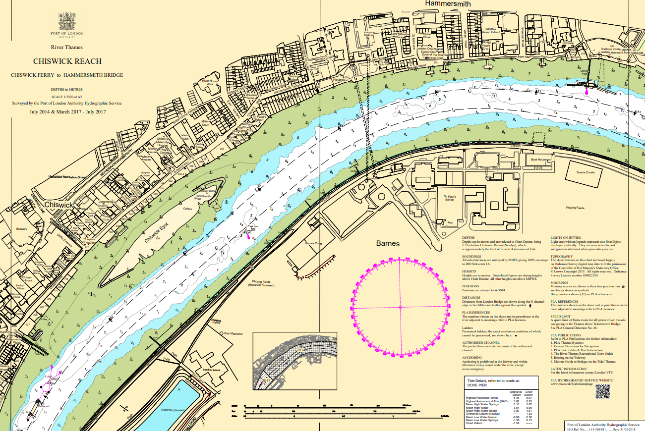
Hydrographic charts, surveys and miniplots are available online from our GIS system
Incident reporting
Life-threatening emergencies on the river:
Call 999 and ask for the Coastguard
For near miss, safety observations and incident reporting click below
Media
Keep up to date with the Port of London
Media enquiries
Members of the news media may call us on +44 (0)7512 713233. Do not text.
The media team cannot assist with filming or other non-news enquiries.
Subscribe to our press releases on our email subscriptions page.
Image
Vessel's green retrofit nears completion
Read More...
Image
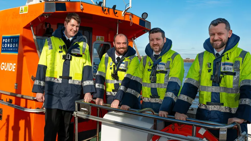
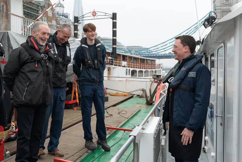
New trainee pilots recruited to support tidal Thames trade
Read More...
Image
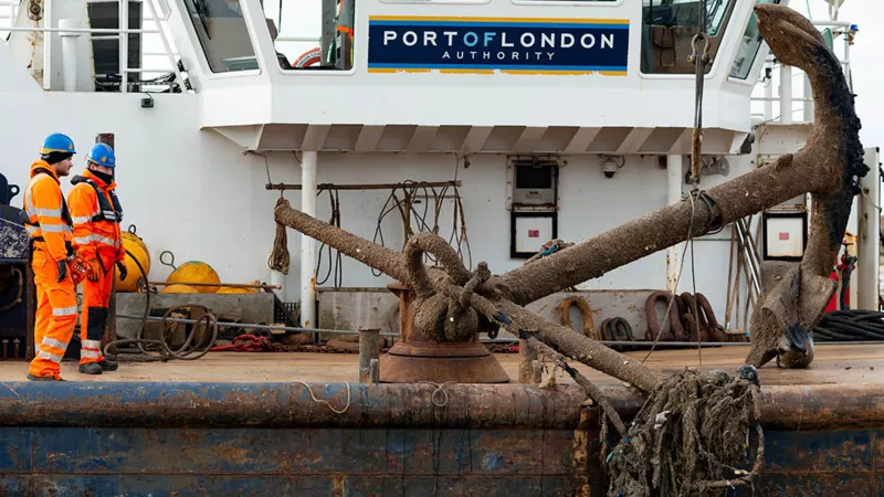
Anchor's away: PLA team removes object from bed of the River Thames
Read More...
Image
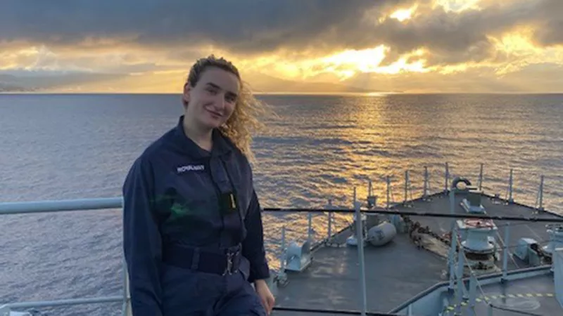
Inspired by a childhood love for the Thames
Scarlett Barnett-Smith
Read More...
Image
A lasting legacy for Mark Towens, PLA Harbour Master
Read More...
Image
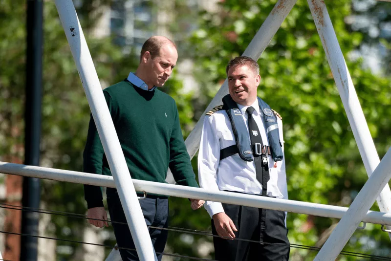
Minister hails drive to boost Thames safety
Read More...
Image
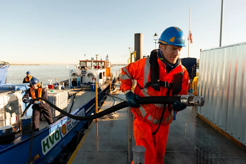
New tanks for cleaner fuels speed PLA progress towards Net Zero
Read More...
Image
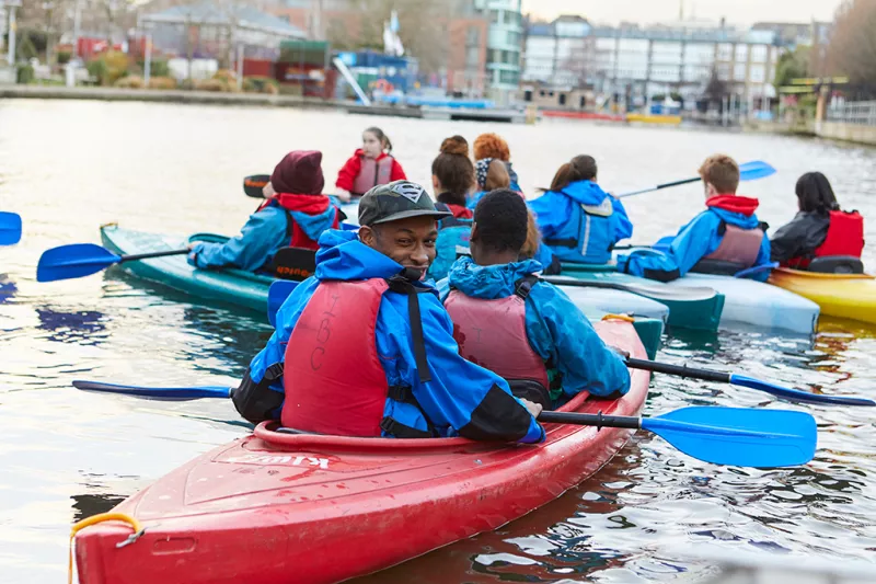
Active Thames fund winners announced
Read More...
Thames Vision 2050
We will create the UK’s leading port, central to the nation’s economy, with Net Zero emissions
A clean river, free of pollution and rubbish, supporting more sport, passengers and freight. A resilient Estuary, adapting to climate change and richer in wildlife. A more diverse Thames, providing jobs, learning and enjoyment to the whole community, and always, everyone, staying safe.