Live Tides
NOTICES TO MARINERS
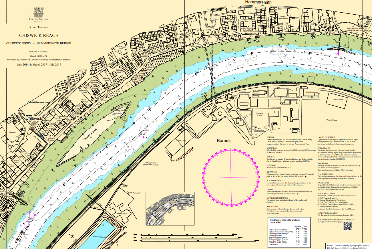
Charts & Surveys
Incident reporting
Life-threatening emergencies on the river:
Call 999 and ask for the Coastguard
For near miss, safety observations and incident reporting click below
Scaled drawings
All drawings must be legible and the drawings must show the following details (which can be given on one or more sheets); in the case of moorings only a block plan is required.
KEY PLAN
This must be drawn to a scale of 1/10,000 and should preferably be taken from the current Ordnance Survey map of that scale. .
The plan must show:
- both sides of the river for a distance of 1 km on either side of the proposed works;
- the proposed works; and
- the applicant's premises (if any).
BLOCK PLAN
This must be drawn on the latest PLA chart at the scale of that chart (normally 1:5000).
The plan must show:
- The line of mean high and the drying line (normally shown on the latest PLA charts);
- the proposed works (i.e. everything to be carried out in the river riverward of the line of mean high water, or the extent of any cut in the bank), as appropriate to chart scale;
- the applicant's premises (if any);
- the names of the owners/occupiers of the adjacent riverside premises;
- in the case of moorings, the nature and principal dimensions of the materials to be used (which may be written on the plan), and collar barges, if to be used and the name of the boat or boats to be moored at the moorings. The number and maximum dimensions (length and beam) of any vessels at the site
PLAN(S), CROSS-SECTIONS AND ELEVATIONS
These must be drawn to a scale of not less than 1/100 but if the works are very large a smaller scale of not less than 1/200 may be used. They must be sufficiently detailed to show exactly what is to be built and give principal dimensions and levels. Sufficient cross-sections and elevations must be given to illustrate all aspects of the proposed works. The proposed works, including dredging if appropriate must be shown.
The drawing(s) must indicate:
- existing works;
- the existing line of mean high water;
- the foreshore and riverbed in the vicinity of the works;
- the drying line (at PLA chart datum) where the proposed works extend to low water;
- Ordnance Datum Newlyn