Live Tides
NOTICES TO MARINERS
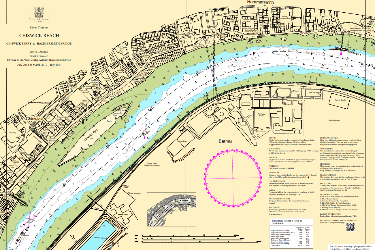
Charts & Surveys
Incident reporting
Life-threatening emergencies on the river:
Call 999 and ask for the Coastguard
For near miss, safety observations and incident reporting click below
Maritime minister names first fully-electric survey vessel
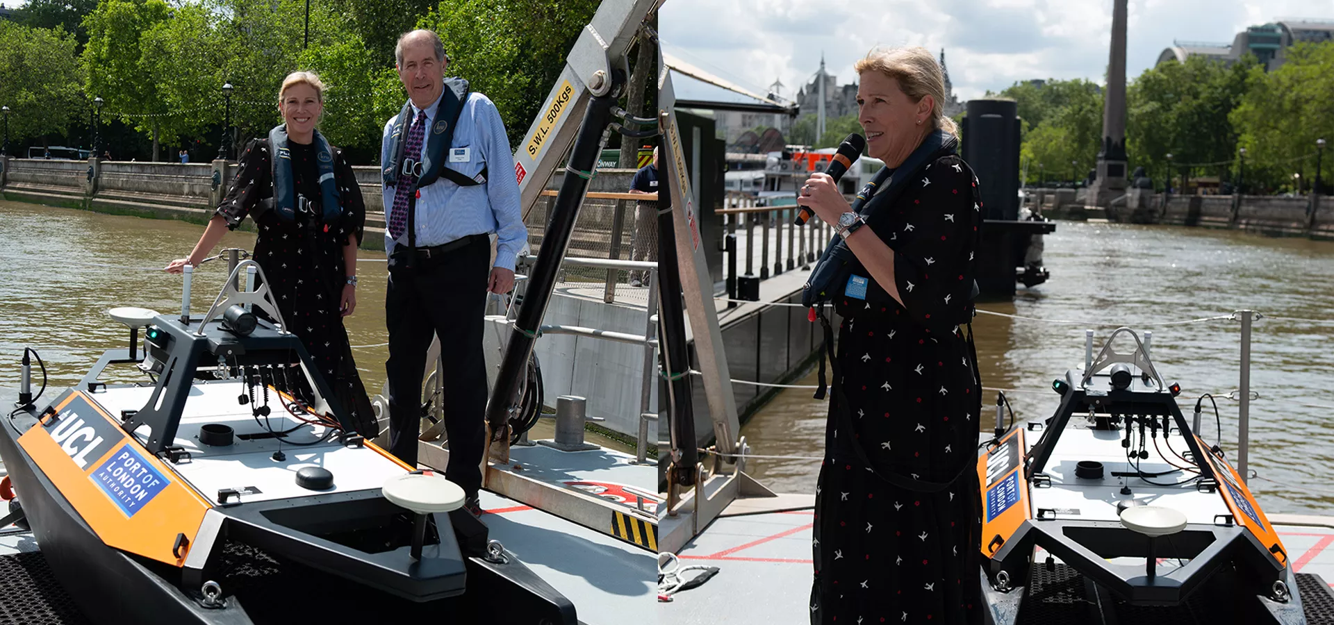
Coinciding with World Hydrography Day (21 June), the Maritime Minister, Baroness Vere of Norbiton, officially named the first fully-electric, remotely operated survey vessel of any UK port, UCL Tamesis.
Maritime Minister, Baroness Vere, and PLA chair, Jonson Cox CBE, with UCL Tamesis, the first fully electric remote survey vessel of any UK port
As it is jointly operated by the Port of London Authority (PLA) and the University College of London (UCL), the name acknowledges both organisations; ‘Tamesis’ being the ancient Latin name for the River Thames.
UCL Tamesis, which was acquired following a successful bid and award of an £263,000 grant from the Engineering & Physical Sciences Research Council (EPSRC) will facilitate PLA and UCL research in coastal morphology, carbon reduction, habitat mapping and other areas of education and development in the sphere of maritime safety, autonomy, and robotics.
Manufactured by MARITIME ROBOTICS and featuring the most advanced sonar and scanning system from NORBIT, UCL Tamesis will enable safety of navigation surveys in previously inaccessible areas, safely and sustainably. It will also be used in trials to inform the port authority of how best to manage and interact with remote and autonomous vessels.
Held at Woods Quay, a beautiful building moored on the Thames with a revered riverscape from Waterloo Bridge across to Westminster, the naming ceremony was led by the PLA’s chair, Jonson Cox CBE, and attended by key stakeholders and partners at the invitation of UCL and the PLA. In the centuries’ old tradition, the Maritime Minister, Baroness Vere of Norbiton, formally named the vessel, UCL Tamesis, whilst breaking the miniature bottle of champagne.
Maritime Minister Baroness Vere said:
“It’s a privilege to name UCL Tamesis, the first fully-electric survey vessel for the Port of London, to honour the historic river that it’ll operate on, while pointing to a net-zero maritime future.
“Innovation is at the heart of our voyage to reducing carbon emissions in the maritime sector and today’s announcement shows how it can also keep our waterways safe with its surveying technology.”
With sustainability and safety at the heart of the innovation and change to remote and autonomous vessels, the hydrographic surveying industry is ready to embrace these solutions to be able to provide safer, more efficient and versatile underwater data collection.
The PLA’s port hydrographer, John Dillon-Leetch, said:
“It means a lot to us that the Maritime Minister has officially named our new remote survey vessel, UCL Tamesis, today, on World Hydrography Day, and in a longstanding maritime tradition, taken the honorary title of being its “Godmother”. We hope she will bring good luck and protection to the vessel and those who operate it as it carries out vital hydrographic work and research by UCL and the PLA in the years to come.”
The PLA’s Hydrography team has worked in partnership with UCL Civil, Environmental and Geomatics Engineering (CEGE) since 1999 to deliver the internationally accredited* MSc in Geospatial Science, Hydrographic Surveying, which is currently the only CAT A accredited course in the UK, supporting the education of future hydrographic surveyors from around the world.
UCL CEGE’s lecturer in marine geospatial science, Dr Cassandra Nanlal, commented:
“What an extraordinary way to celebrate World Hydrography Day! We really appreciate the show of support by the Minister for our collaborative research initiative. The UCL/PLA partnership on the MSc Hydrographic Surveying has been tremendously beneficial to elevating the standards in the industry internationally and now we embark on joint innovative research towards sustainability and autonomy.”
* International Board of Standards and Competence for Hydrographic Surveyors and Nautical Cartographers (FIG/IHO/ICA)
Related content


Working together to accelerate progress towards decarbonising the Thames, the Port of London...
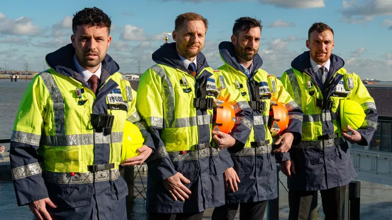
Four Pilots have joined the Port of London Authority (PLA)’s 123-strong team of Pilots, as the...
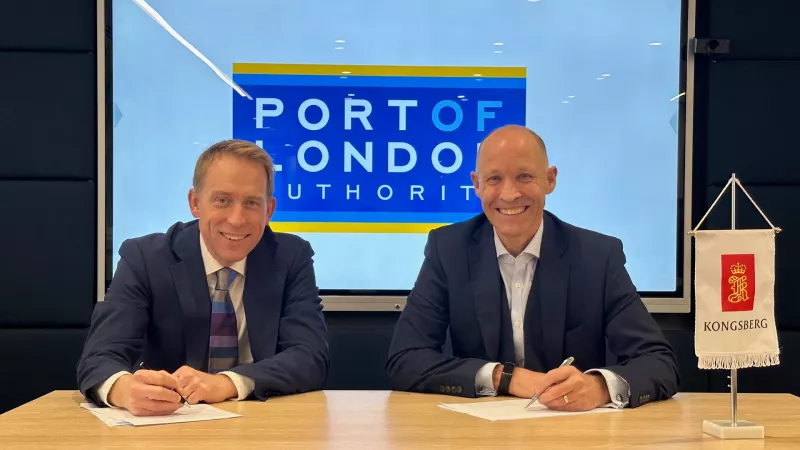
The Port of London Authority is pleased to announce that, following a thorough tendering process, it...